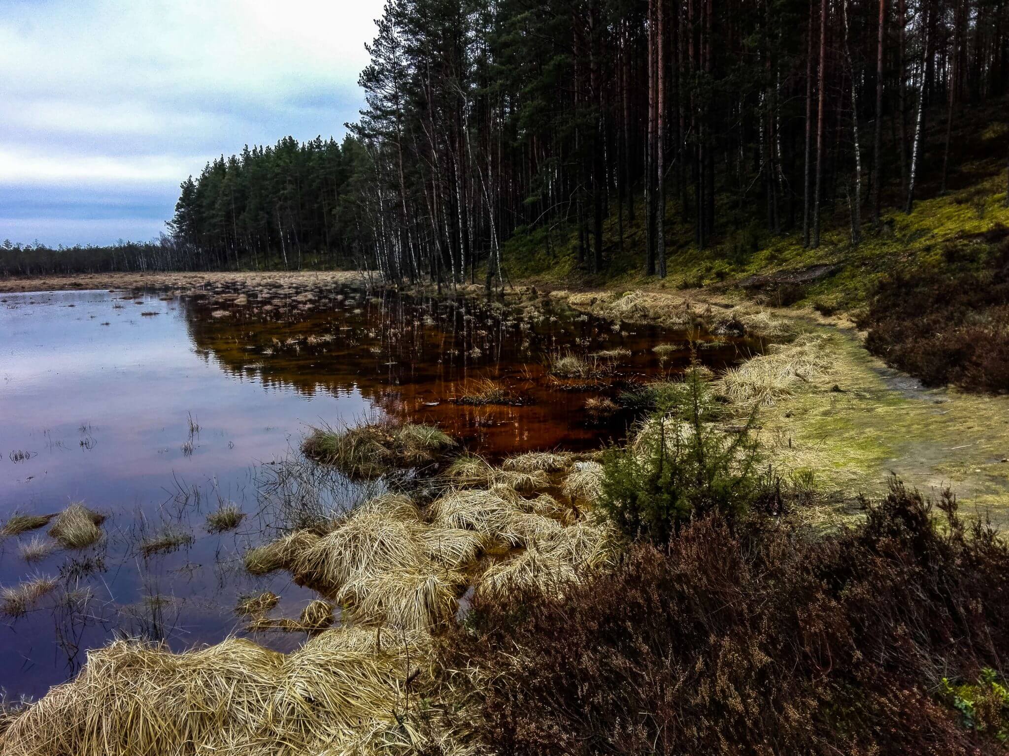
Donate

The Guide & Map to Top 10 Best Beaches in Crete Island, Greece

Guide to Staffa Island & Fingal's Cave Tour from Oban, Scotland

History Guide to Schönbrunn Palace Gardens, Zoo & Monuments, Vienna

Thank you for visiting Connecting the Dots Journal's official website!

You got lucky! We have no ad to show to you, if youu want to support my work in a different way, please, subscribe to newsletter or become a Patron

Click on the Ad to support my work.

Dzukija region in Lithuania

Thank you for visiting Connecting the Dots Journal's official website!

You got lucky! We have no ad to show to you, if youu want to support my work in a different way, please, subscribe to newsletter or become a Patron

Click on the Ad to support my work.

Thank you for visiting Connecting the Dots Journal's official website!

You got lucky! We have no ad to show to you, if youu want to support my work in a different way, please, subscribe to newsletter or become a Patron

Click on the Ad to support my work.

Thank you for visiting Connecting the Dots Journal's official website!

You got lucky! We have no ad to show to you, if youu want to support my work in a different way, please, subscribe to newsletter or become a Patron

Click on the Ad to support my work.

Quick Navigation

Čepkeliai Marsh

The country’s largest swamp is located near Belarus border in the southeast region of Lithuania called – Dzukija.

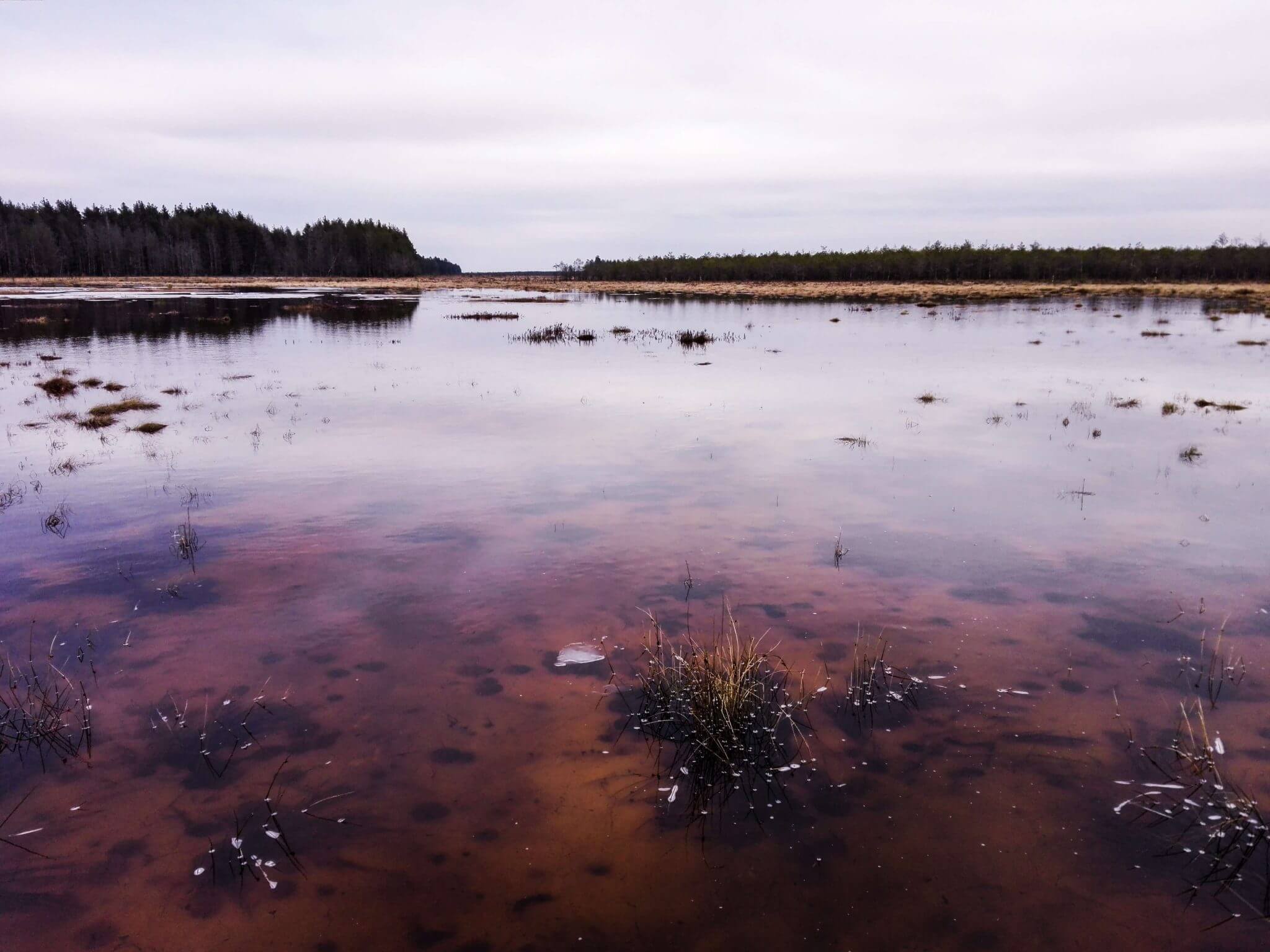
Cepkeliai Marsh formed around 11.700 years ago when the last Ice age withdrawed, leaving a lot water in the region.

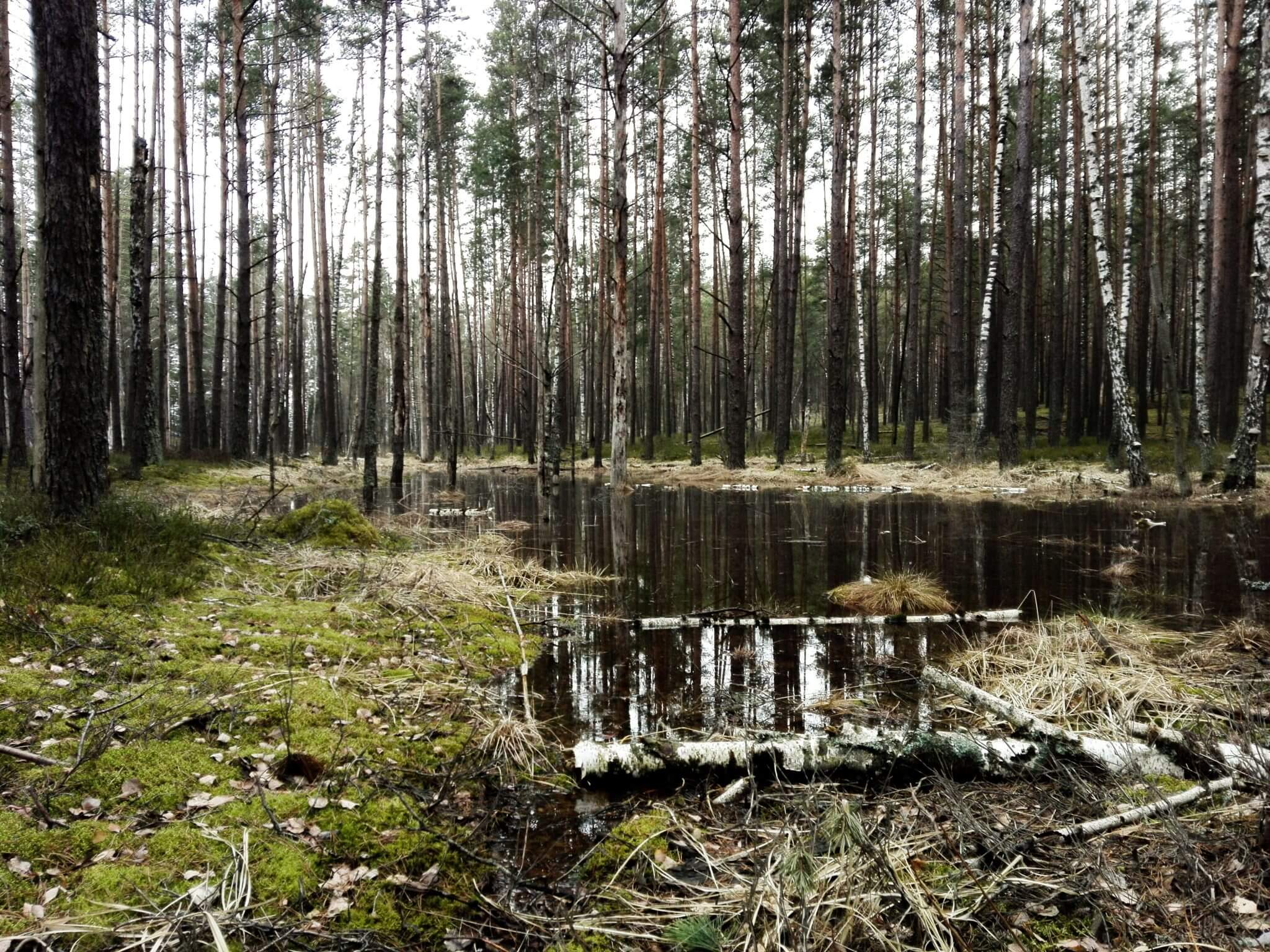
It is one of the 13 PAN parks in the Europe. PAN park foundation aims to balance wilderness protection and high quality tourism.

Coordinates: 54 24.5
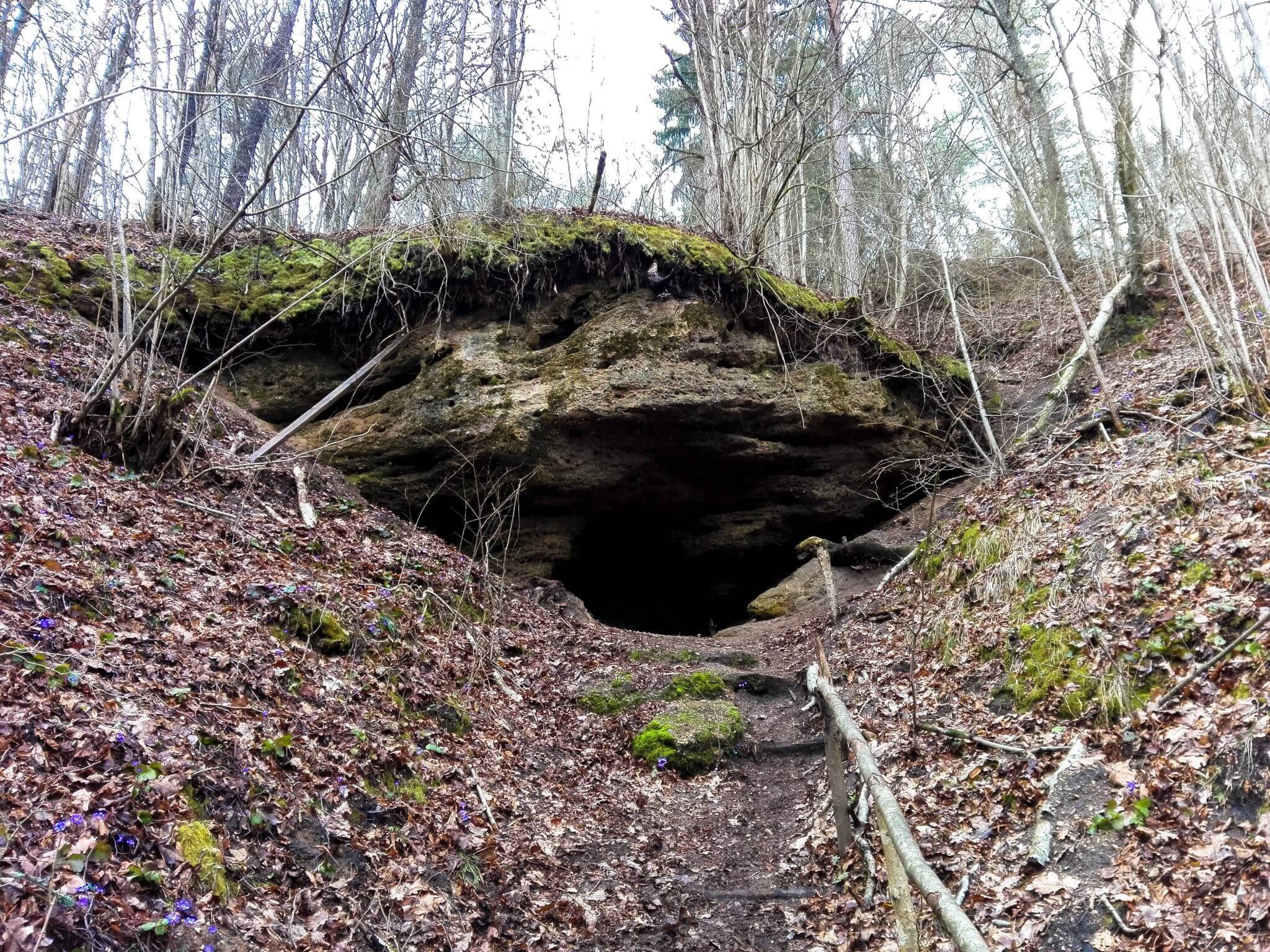
A Crying Cave

Also called a holy cave or Skaliskiu cave. As a legend says, it’s water used to miraculously help people until one lady washed her dog eyes with it. Was visited by christian piligrims on their way to the Gate of Dawn.

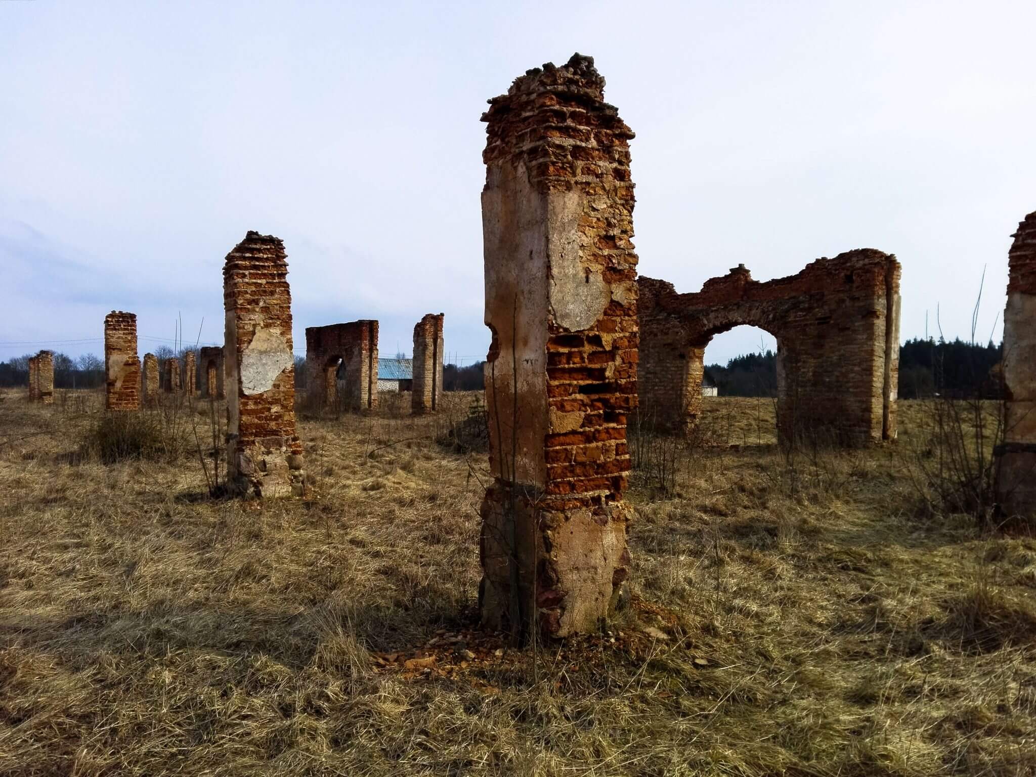
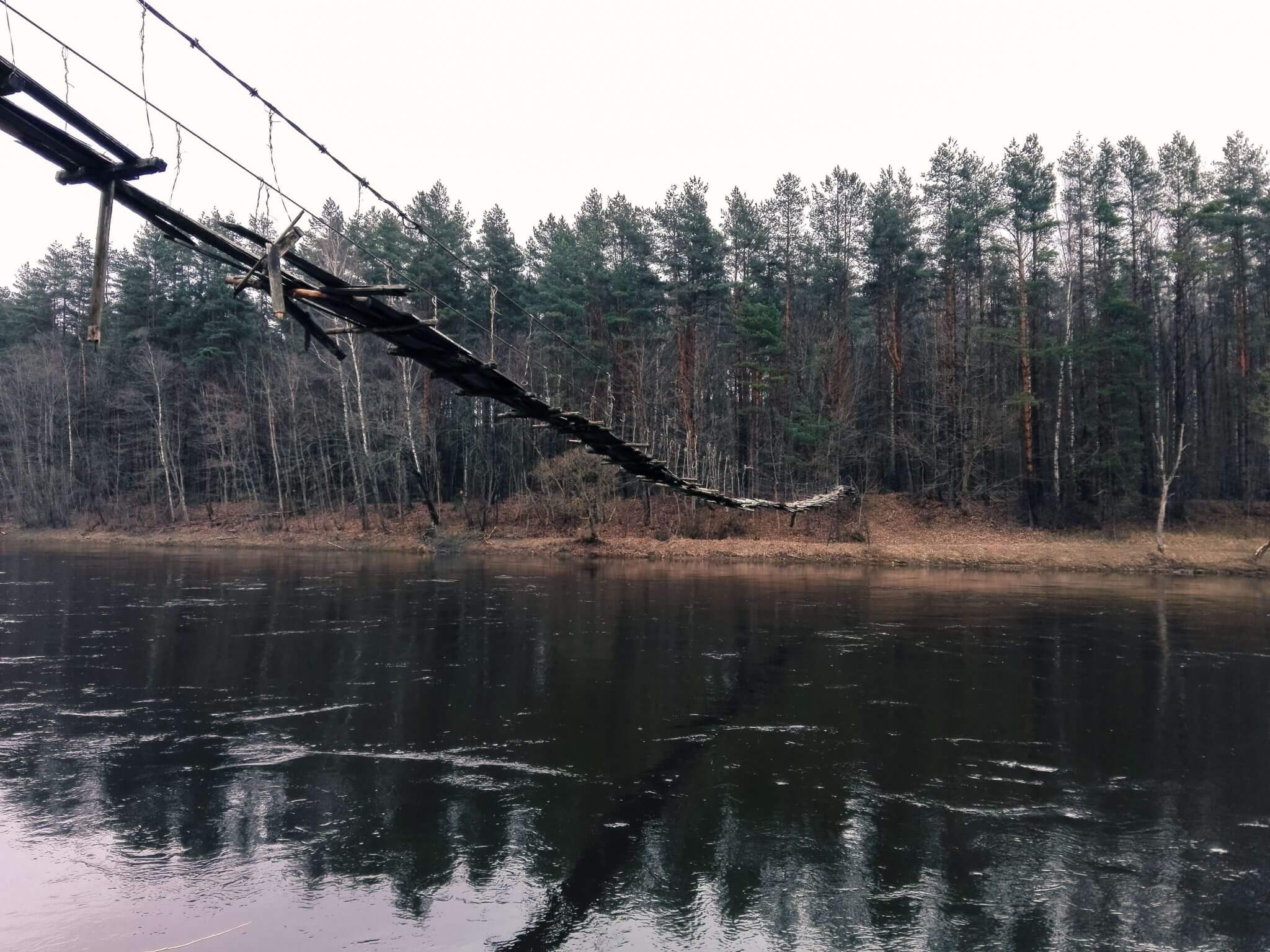
On your way you can also visit some ruins in Raudondvaris and an old monkey bridge near Liucionys through second a longest river in the Lithuania – Neris.

Coordinates: 54.875505 25.578089

Strėva Pit

Legend says that here stood a cursed tavern, where demons spent their time. Once they had a wedding party until first rooster crowed and they all were sucked underground with a whole tavern. It can be found in Aukštadvaris Regional Park.

Coordinates: 54.5825607 24.6922518

Aukstojas Hill

The highest point in all of Lithuania with elevation at 293.84 meters. Interesting fact: Mountains occur in ¾ of the world’s countries. The biggest country in the world without a mountain is Belarus and the next three places are shared by its neighboring Baltic countries: Lithuania, Latvia, and Estonia.

Coordinates: 54.5271119 25.6237757

Share.
the.Word

Connect.to.
the.Adventure.

Connecting the Dots blog requires a lot of my time and I do it alone on my free time. If you appreciate my work, you can contribute to it by becoming a Patreon or subscribing to my newsletter.