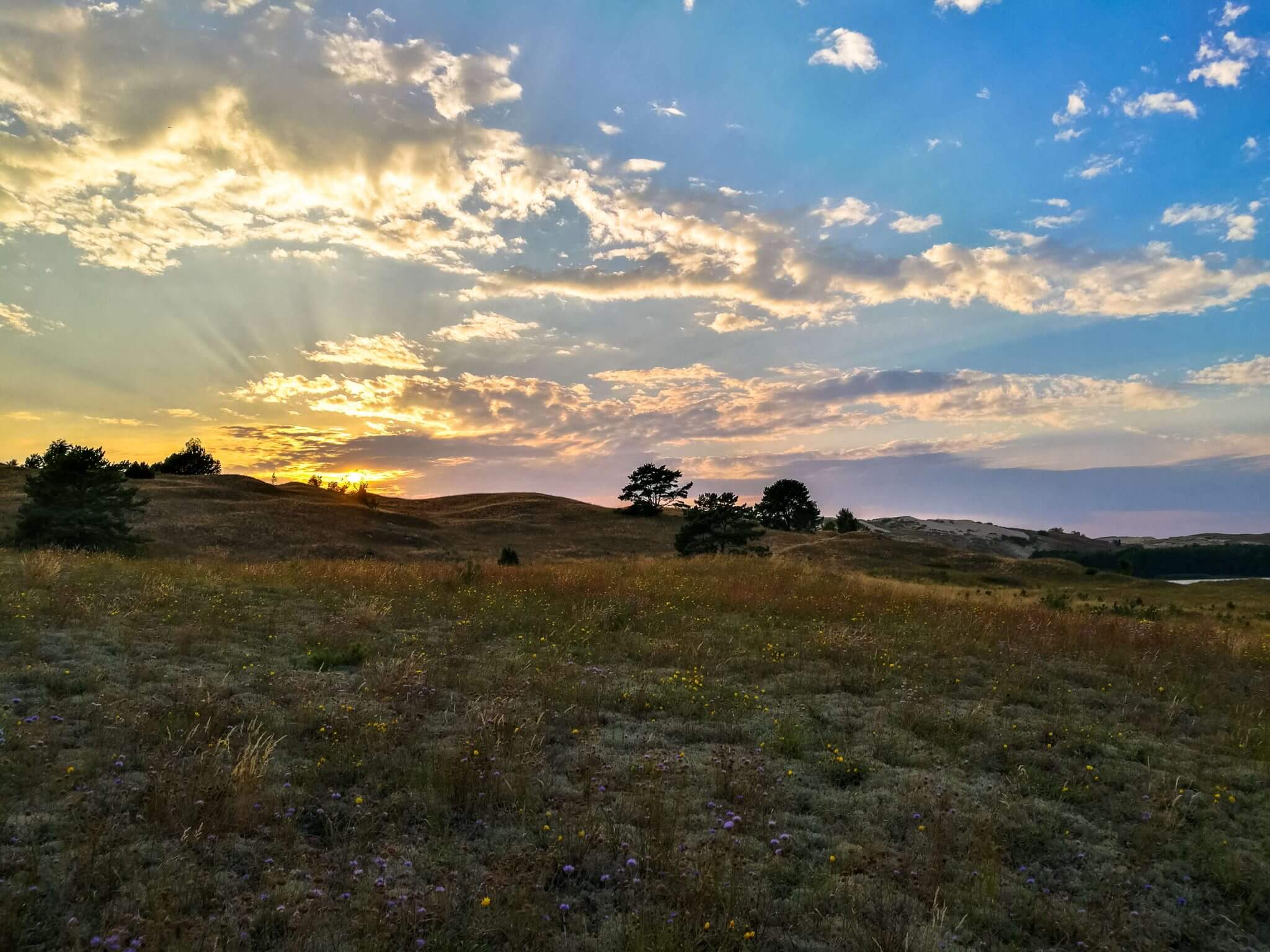
Donate

The Guide & Map to Top 10 Best Beaches in Crete Island, Greece

Guide to Staffa Island & Fingal's Cave Tour from Oban, Scotland

History Guide to Schönbrunn Palace Gardens, Zoo & Monuments, Vienna

Thank you for visiting Connecting the Dots Journal's official website!

You got lucky! We have no ad to show to you, if youu want to support my work in a different way, please, subscribe to newsletter or become a Patron

Click on the Ad to support my work.

Lithuania minor region

Thank you for visiting Connecting the Dots Journal's official website!

You got lucky! We have no ad to show to you, if youu want to support my work in a different way, please, subscribe to newsletter or become a Patron

Click on the Ad to support my work.

Thank you for visiting Connecting the Dots Journal's official website!

You got lucky! We have no ad to show to you, if youu want to support my work in a different way, please, subscribe to newsletter or become a Patron

Click on the Ad to support my work.

Thank you for visiting Connecting the Dots Journal's official website!

You got lucky! We have no ad to show to you, if youu want to support my work in a different way, please, subscribe to newsletter or become a Patron

Click on the Ad to support my work.

Quick Navigation

The Dead Dunes

Located between villages of Pervalka and Juodkrantė, the Dead Dunes (also called the Grey Dunes) is one of the most popular tourist places in Neringa Municipality. Walking in the Dead Dunes is forbidden, but there is a pathway to Naglis dune, entrance to it can be found near the main car road. Like at any other higher place in the Curonian spit, you can observe the Baltic sea and the Curonian lagoon.

Coordinates: 55.4400442 21.0870391

Klaipeda sea gates

At the point in Lithuania where the Baltic sea and the Curonian lagoon connects. From this point the Curonian spit goes 98km to the south where it connects with the continent in the neighbour Russia federation.

Coordinates: 55.723342 21.0857828

Nida highlight tower

Only 10 m height, Nida highlight tower still might look scary for some visitors as the only way to get to the top is by ladder. Built in a place, chosen by residents of the city, near light house during a EASA 2016 festival. Be sure to visit it soon as it is temporary and won’t stand there forever. Coordinates:

Coordinates:55.3042575 20.9910972
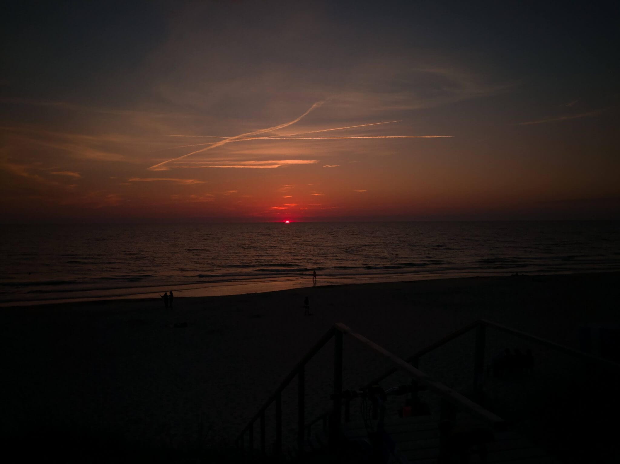
Curonian spit beach

The dune on the Curonian spit seacoast is a result of cooperation of human and nature. The formation of dune ridge started at 1803 and continued for next hundred years, it’s purpose is to protect mainland from sand brought by the sea. The dune still requires constant supervision and protection, so cherish it.

Coordinates: 54.875505 25.578089

Share.
the.Word

Connect.to.
the.Adventure.

Connecting the Dots blog requires a lot of my time and I do it alone on my free time. If you appreciate my work, you can contribute to it by becoming a Patreon or subscribing to my newsletter.